Tesla Strategy Shift: Building In-House Maps for FSD
Tesla is developing proprietary mapping technology to resolve persistent navigation errors, marking a significant departure from its previous reliance on pure vision systems.
By Zanele Khumalo ·
Tesla is currently constructing its own mapping infrastructure to address persistent errors in its Full Self-Driving software, a move that directly contradicts years of executive commentary. The company’s head of AI, Ashok Elluswamy, outlined this new initiative during the Q3 2026 earnings call. He explained that the new architecture will be powered by data collected from the vehicle fleet, allowing the system to better handle speed limits, parking maneuvers, and route selection. This development signals that Tesla is finally acknowledging that its current vision-only approach has limitations that require external data structures to overcome.
The decision to build internal maps stems from direct feedback from shareholders who have long complained about navigation inaccuracies. During the earnings call question and answer session, a retail investor noted that mapping issues remain a significant pain point for users. Specifically, the investor cited speed limit recognition, parking difficulties, and typical route choices as the primary areas of frustration. In response, Elluswamy agreed that Tesla should not rely on third-party map providers. He stated that the company is now building a proprietary system that will learn from collective fleet data and individual driver preferences, including the ability to process voice commands.
This pivot is particularly notable given Tesla’s historical stance on autonomous driving. For years, CEO Elon Musk argued that systems relying on detailed maps were inherently brittle. At the 2019 Autonomy Day event, he dismissed high-precision lane maps as a mistake that made self-driving systems fragile. He famously referred to lidar as a fool’s errand, suggesting that Tesla could solve driving entirely through cameras and artificial intelligence. That messaging positioned Tesla as distinct from competitors like Waymo, which relied on heavy sensor suites and pre-mapped environments. The current strategy suggests that the vision-only model is not sufficient for reliable operation in all conditions.
The new mapping technology is scheduled to roll out in phases over the coming months. Elluswamy indicated that FSD version 15 will initially use the new maps for the start and end of trips. Subsequently, the system will expand its use of this data to manage navigation, parking, and destination handling more broadly. This gradual implementation allows the company to test the new AI-based mapping and navigation architecture while integrating it with existing software features. The goal is to create a more robust system that can interpret environmental data more accurately than the current end-to-end vision model.
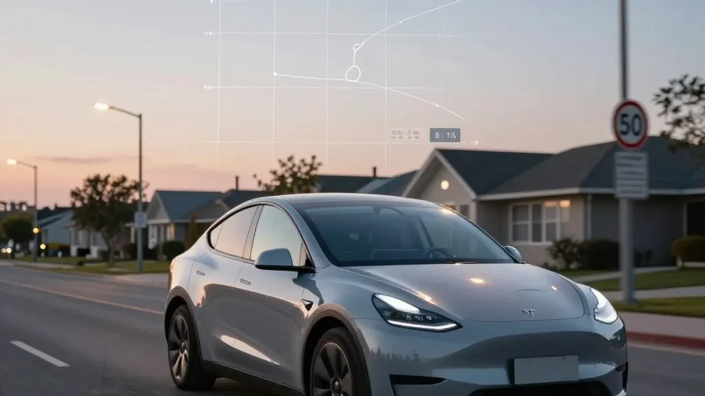
The need for better maps is supported by recent independent findings regarding Tesla’s performance on the road. A Belgian road safety group recently tested the system in Brussels and found that it exceeded speed limits in 55% of 30 km/h zones. The vehicles averaged 44 km/h, often because the dashboard displayed an incorrect limit of 50 km/h. In the United States, the National Highway Traffic Safety Administration is considering an investigation into reports that Tesla robotaxis are speeding through active school zones. These issues highlight a fundamental challenge: if the system cannot reliably read simple road signs, a dedicated map layer provides a necessary backup to ensure safe driving.
This approach brings Tesla’s operational model closer to that of its competitors. Waymo has long operated by driving sensor-equipped vehicles through cities to build and maintain high-definition maps before launching service. Tesla is now adopting a similar logic, using its fleet to collect data that feeds into a central map. While Tesla does not use lidar, the core concept of using a fleet to build a detailed environmental model is increasingly similar. This also aligns with the current operation of Tesla’s robotaxi service, which functions within specific geofenced areas where the company has better data coverage and operational control.
The shift does not mean Tesla has abandoned its vision-based philosophy entirely. The company has always used navigation maps, and building its own version is a logical step in reducing dependency on external vendors. However, the specific problems being addressed, such as speed limits and parking, are environmental factors that the current vision system struggles to interpret consistently. By creating a map that learns from millions of vehicles, Tesla aims to provide a more reliable foundation for its autonomous features. This move suggests that the industry consensus is shifting toward a hybrid approach that combines real-time sensory input with pre-processed environmental data.
For consumers and investors, this development represents a tangible step toward more reliable autonomous driving. While the timeline for unsupervised FSD in consumer vehicles remains targeted for the second quarter of 2027, the underlying technology is evolving. The integration of a fleet-built map layer addresses some of the most common criticisms of the current system. As Tesla continues to refine this architecture, the distinction between its approach and that of other autonomous driving companies may become less distinct, with both relying heavily on detailed, continuously updated environmental data to ensure safety.
Source: Electrek